Keith Gibson
Chief Meteorologist at WISH-TV (Indianapolis, IN)
Chief Meteorologist at WISH-TV in Indianapolis, IN. Certified Broadcast Meteorologist #73
Articles
-
1 month ago |
wbay.com | Keith Gibson
Lots of clouds can be expected again today along with highs in the 60s, some 70s are likely near the U.P. border where it will remain pretty dry. Areas of rain will push up from the south this morning and probably not get too far north of Green Bay as the day wears on. Some of these showers may linger into the evening. I don’t expect a lot of heavy rain but some spots may get between 0.1” and 0.25”.
-
1 month ago |
wbay.com | Keith Gibson
We have a lot more cloud cover out there today, but odds of getting rain remain on the lower side. The best chance of spotty showers is west of the Fox Valley. Look for highs around 70° inland with cooler 60s near Lake Michigan. Additional spotty showers are possible tonight with a better chance of showers by Wednesday PM & night. Now don’t get too excited about significant moisture, recent data continues to trend lower with expected amounts through midweek.
-
1 month ago |
wbay.com | Keith Gibson
All in all, I think our Memorial Day weekend has been pretty good. Yes, it has been a bit cool overall but at least we didn’t have a washout or any severe weather. That’s always a blessing. Clouds will increase later tonight but it’ll remain quiet. Look for lows mainly in the 40s. More clouds than sun are expected for Tuesday as we head back to work and school. There is a chance of showers, especially west of the Fox Valley.
-
1 month ago |
wbay.com | Keith Gibson
Look for mostly clear skies tonight with cool lows in the 40s and 30s. Some patchy frost could develop across the Northwoods near the U.P. border once again. We all have a pretty nice Memorial Day on tap with lots of sunshine and friendly clouds. There shouldn’t be any weather issues for all of the local parades and ceremonies taking place. Plan on highs in the 60s to low 70s inland with cooler 50s along the Lake Michigan shoreline.
-
1 month ago |
wbay.com | Keith Gibson
There is more frost potential for the Northwoods tonight where temperatures may dip into the lower 30s or upper 20s. A FROST ADVISORY has been posted until 8 a.m. Sunday. Locations farther south will be cool, but not as cold, with lows in the upper 30s to lower 40s. Highs Sunday and Monday will be in the 50s near Lake Michigan with milder 60s and lower 70s inland. I think a few spotty showers or sprinkles could develop again on Sunday but most spots should remain dry.
Try JournoFinder For Free
Search and contact over 1M+ journalist profiles, browse 100M+ articles, and unlock powerful PR tools.
Start Your 7-Day Free Trial →X (formerly Twitter)
- Followers
- 2K
- Tweets
- 31K
- DMs Open
- No

1 PM EDT: storms bubbling across far southern IN early this afternoon... with the strongest cells remaining in KY. https://t.co/aTTXw8SAme
There may be some additional rain/thunder around Indy this evening with temps in the 70s for folks heading out to @Pacers watch parties. It looks like any big storms out in OK will occur after the game in OKC… fingers crossed 🤞 https://t.co/EAURvie6d1
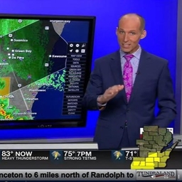
We are socked in with clouds and lingering rain at noon today here in Indiana #inwx https://t.co/sO1DFWJ7zQ