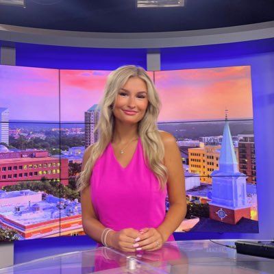
Brooke Richardson
Meteorologist at WEAR-TV (Pensacola, FL)
Meteorologist for WEAR-TV in Pensacola, Florida. I have never met a sunrise I didn't like. | FSU Alum, Go Noles!
Articles
-
Mar 13, 2025 |
weartv.com | Brooke Richardson
The Storm Prediction Center has our area under a level 3 and 4 out of 5 for severe weather Saturday. That means severe storms are likely. We are seeing a setup that would allow for the chance of multiple rounds of severe weather through the day Saturday. Be sure to keep your guard up. For now, we are looking at isolated severe storms in the morning and afternoon and a line of strong storms in the afternoon and evening. Storms could last through the overnight hours and into early Sunday AM.
-
Nov 1, 2024 |
weartv.com | Brooke Richardson
Fri, November 1st 2024 at 6:35 PM0 seconds of 0 secondsVolume 90% PENSACOLA, Fla. -- WEAR News Meteorologist Brooke Richardson received a once-in-a-lifetime experience this week -- flying with the Blue Angels ahead of the NAS Pensacola Homecoming Air Show. She did so withDarlene Hart, who isthe Transportation Director for Escambia County Public Schools.
-
Sep 22, 2024 |
weartv.com | Brooke Richardson
The NHC has released the first forecast cone for what is now being called potential tropical cyclone 9. We are expecting this to strengthen and become Hurricane Helene by the middle of the week. As of now, our area remains outside and to the west of the forecast cone. We are still expecting rough surf and an increase in rip current risk by Wednesday. Some uncertainty remains in track and intensity, but a lot of forecast models are beginning to agree with a more eastern track.
-
Sep 22, 2024 |
thenationaldesk.com | Brooke Richardson
TND Story Infinite Scroll - News3 v1.0.0 (thenationaldesk)31b7af592d3a3fe8a54e117c093155f2b0ca5568Fallback Presentation. Using deprecated PresentationRouter. TOPICS:Hurricane HelenePotential tropical cycloneFloridaNHCForecast coneRip current riskRough surfHurricane kitsThe NHC has released the first forecast cone for what is now being called potential tropical cyclone 9. We are expecting this to strengthen and become Hurricane Helene by the middle of the week.
-
Sep 9, 2024 |
weartv.com | Brooke Richardson
Tropical Storm Francine is still forecast to become a hurricane later Tuesday and make landfall along the Louisiana coastline Wednesday morning. LOCAL IMPACTS: We have seen a small increase in local impacts, especially in our SW AL counties. Coastal Mobile and Baldwin County are now under a Tropical Storm Watch. The NHC is also calling for 2-4 feet of storm surge in Mobile Bay. Coastal flooding will be possible along Mobile Bay.
Journalists covering the same region

TaMaryn Waters
Reporter at Tallahassee Democrat
TaMaryn Waters primarily covers news in Tallahassee, Florida, United States and surrounding areas.

Kenzie Krueger
Reporter at WTXL-TV (Midway, FL)
Kenzie Krueger primarily covers news in the Florida Panhandle region, including areas around Tallahassee, Florida, United States.

Gregg Patterson
Executive Director and Writer at Tallahassee Democrat
Gregg Patterson primarily covers news in Tallahassee, Florida, United States and surrounding areas.
Madison Glaser
Anchor and Multimedia Journalist at WCTV-TV (Tallahassee, FL)
Madison Glaser primarily covers news in Tallahassee, Florida, United States and surrounding areas.
Brianna Shaw
News Reporter at WCTV-TV (Tallahassee, FL)
Brianna Shaw primarily covers news in the Tallahassee area including surrounding regions in Florida, United States.
Try JournoFinder For Free
Search and contact over 1M+ journalist profiles, browse 100M+ articles, and unlock powerful PR tools.
Start Your 7-Day Free Trial →Coverage map
X (formerly Twitter)
- Followers
- 3K
- Tweets
- 3K
- DMs Open
- Yes

RT @AmandaJWEAR: The Stewart twins love @WeatherBrooke ❤️ https://t.co/EhqV3LvmZP

A Tornado Watch has been issued for the entire WEAR-TV area until 3AM Sunday. Stay weather alert! https://t.co/3WBdkjq7JM

RT @NWSMobile: 🔴510pm - PDS Tornado Watch was expanded to include Mobile and Baldwin Counties. This Watch continues until 8pm. PDS = Parti…
